|
|
|
Advertisements:
TransportationAirports World Ranking: 199
2 (2012)
Airports - with paved runways
Total 2
914 to 1,523 m 1 Under 914 m 1 (2012) Ports and terminals
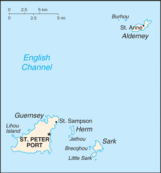
Braye Bay, Saint Peter Port
Comments
Add a new comment: |
Advertisement
Members area
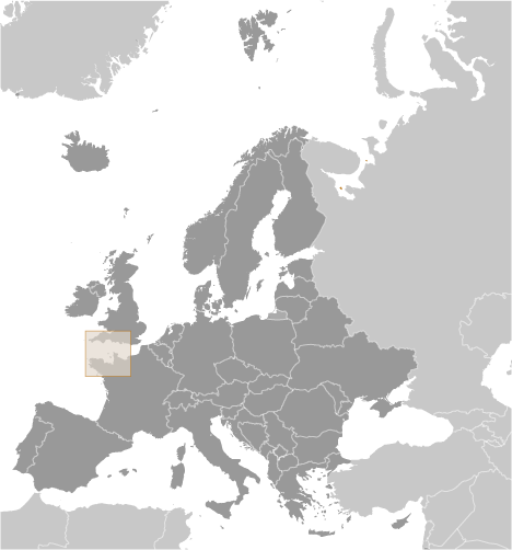
Guernsey [ United Kingdom ] (British Crown Dependency):
GPS points from Guernsey [ United Kingdom ] (British Crown Dependency)
|
||||||||
 Guernsey and the other Channel Islands represent the last remnants of the medieval Dukedom of Normandy, which held sway in both France and England. The islands were the only British soil occupied by German troops in World War II. Guernsey is a British crown dependency but is not part of the UK or of the European Union. However, the UK Government is constitutionally responsible for its defense and international representation.